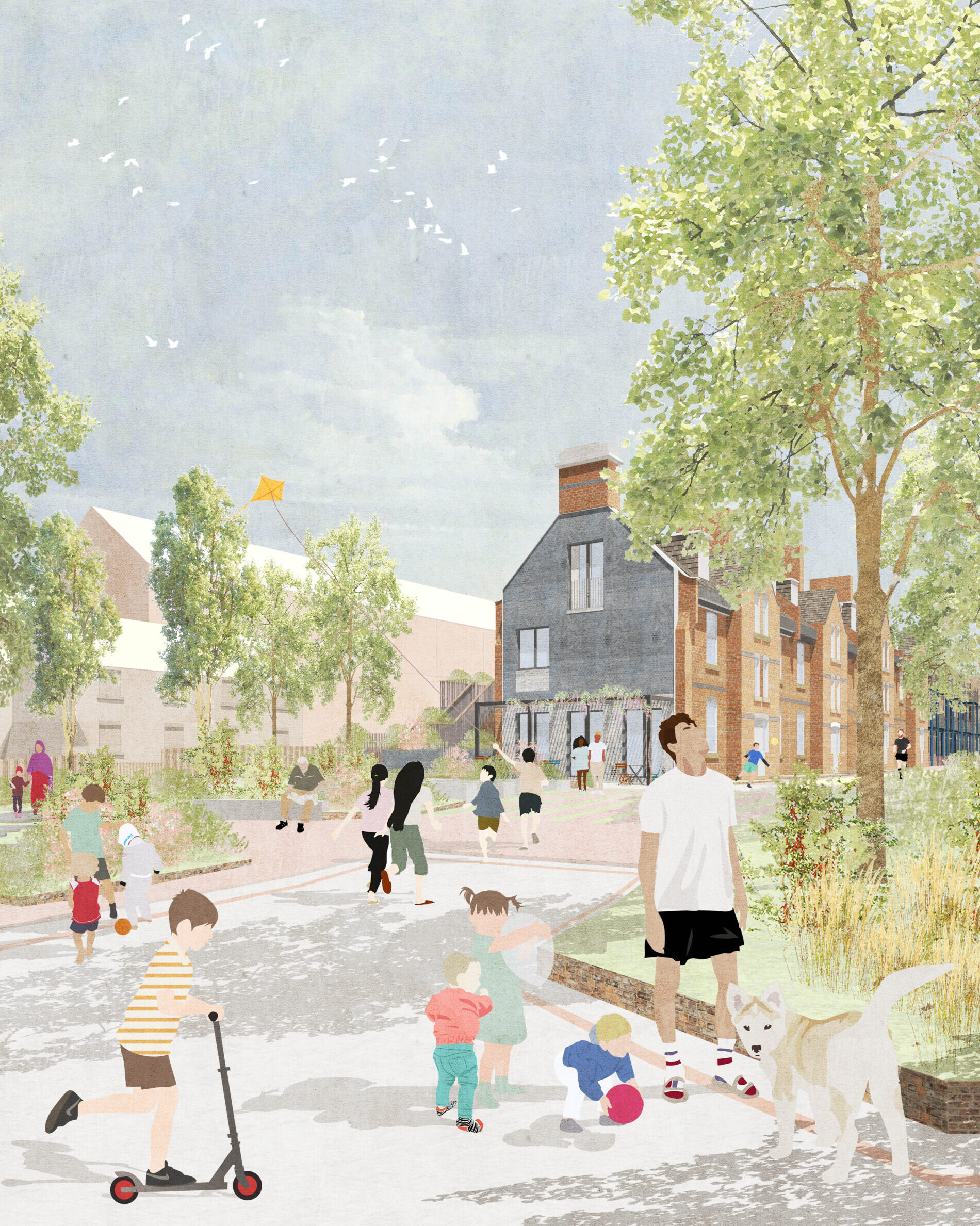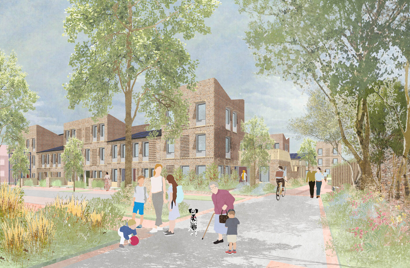
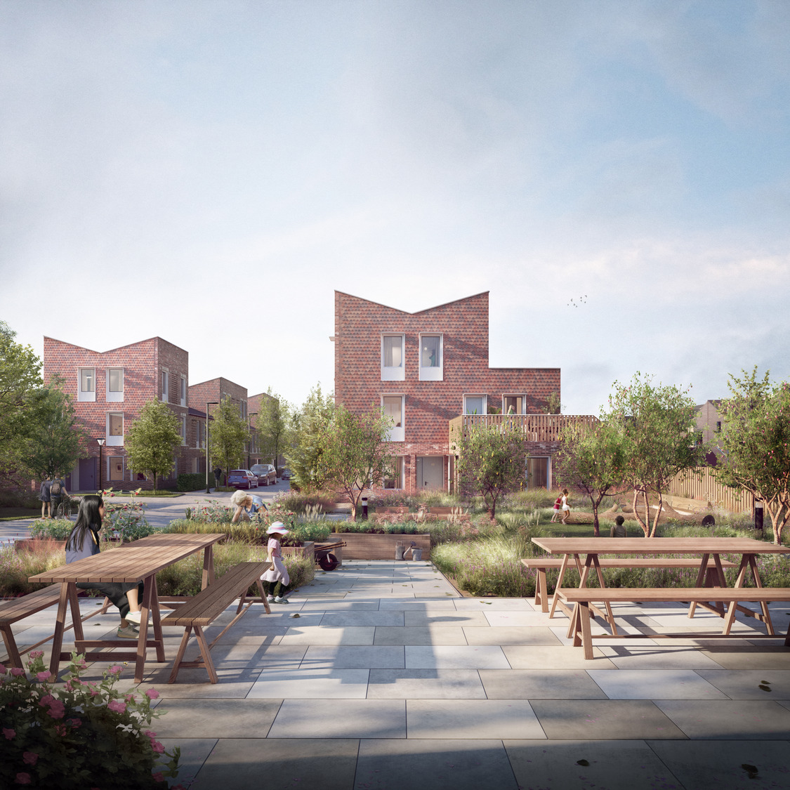
The new neighbourhood at Ordnance Lane knits together a previously disjointed part of the urban fabric to the south of York’s City Centre. The ‘New Ordnance Lane’, car free route connects the existing amenities of Fulford Road (to the east) with the nurseries, gyms, retail and office uses of the Hospital Roads trading estate (to the west). This east-west axis reinstates the original front of the retained building on site, a former military ‘Married Quarters’ and provides new homes, landscapes, community spaces and commercial spaces off this central street. A green link, cycle and pedestrian route running along the east boundary, connects residential areas to the north and south of the site, and provides access to the city’s cycle highway which connects to the tow path of the River Ouze and leads to the city centre. To the east of the site there are 5 rows of new terrace housing, bookended with 3-storey flats, each with their own front door.
A fabric first approach aims to close the performance gap and reduce energy demand for the benefit of residents. Homes are to be built to certified Passivhaus standard and air source heat pumps are utilised to generate hot water and heating. The regulated energy demand required to operate the homes is to be provided by photovoltaic solar panels. The ambitious brief set out by The City of York Council in 2019 was written before many policies and targets sought to define how to achieve ‘net-zero’. As a result of the ambitious brief, Ordnance Lane is in-line with the LETI 2025 Net-Zero Carbon standard, the RIBA 2030 Climate Challenge.
Oliver Wainwright
The Guardian